


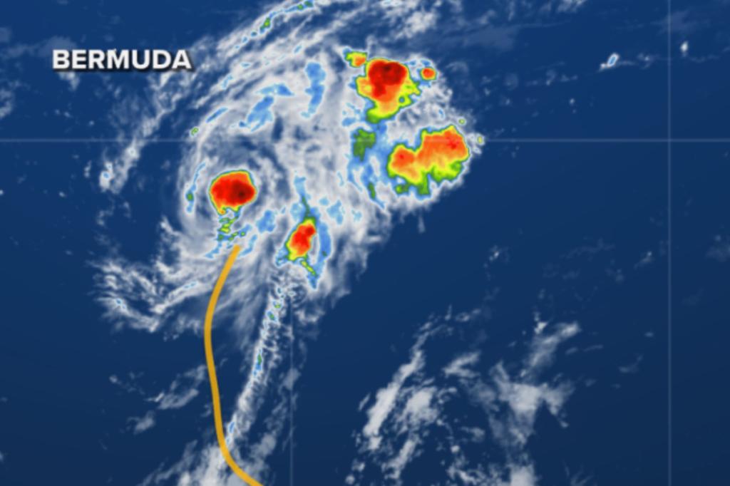
A newly developed tropical storm was named Saturday, southeast of Bermuda, and is expected to strengthen as it tracks northward over the weekend.
Satellite imagery and data from an Air Force Reserve reconnaissance mission indicate that Tropical Storm Fernand formed about 400 miles south-southeast of Bermuda.
The tropical storm last had reported maximum sustained winds of around 40 mph, with higher gusts and is traveling on a northward trajectory.
The National Hurricane Center said steady strengthening is expected over the next several days as the system bypasses Bermuda to its east.
Forecast models show the cyclone is expected to approach hurricane strength but stay well east of the US coastline.
The NHC said dangerous surf and gale conditions are expected around Bermuda during the early workweek as the system makes its closest approach to the island.
Residents and visitors in Bermuda are being advised to monitor the weather for updates as a slight westward deviation in the track could lead to more significant impacts.
“After Monday, Fernand should weaken due to the influences of cooler waters and increasing shear, and the storm will likely become post-tropical in 3-4 days,” NHC forecasters said.
The combination of large swells generated by Fernand and the remnants of Hurricane Erin are expected to prolong the threat of rip currents along the US East Coast well into the upcoming week.
Extensive troughiness across the eastern half of the US is helping to act like a hurricane barrier and is expected to keep the country safe from any tropical threats through the end of the month.
A benefit to the change in weather patterns is that more than 100 million people east of the Rockies are experiencing a taste of fall, with temperatures between 10 and 30 degrees below average over the coming week.
Elsewhere in the Atlantic, the NHC is monitoring a tropical disturbance known as Invest 99L, which is less than 1,000 miles east of the Caribbean islands.
Forecasters say development, if any, is expected to be slow to occur due to more hostile upper-level winds and dry air.
Some forecast models have been showing 99L developing in the western Caribbean or southern Gulf, but beyond the 7-day window.
The next tropical storm in the basin will be named Gabrielle and be the seventh named system of the season.
The Atlantic hurricane season runs through Nov. 30, with activity peaking in September.
Read the full article here


